Weninger, B. (2016). Cartographic Visualisation of Noise and Aspects of Public Understanding of this Information. In Loreto, V., Haklay, M., Hotho, A., Servedio, V.D.P., Stumme, G., Theunis, J. and Tria, F. (eds.) Social sensing, Opinions and Collective Awareness, Springer: Berlin.
Weninger, B. (2015). An initial analysis of design parameters affecting the interpretation of noise maps: Insights gained in empirical research. Kartographische Nachrichten 65(4): 208-216. Open Access.
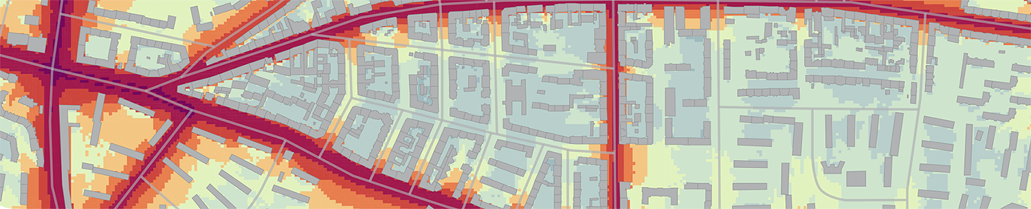
Weninger, B. (2015). Lärmkarten zur Öffentlichkeitsbeteiligung – Analyse und Verbesserung ausgewählter Aspekte der kartografischen Gestaltung. PhD thesis at HafenCity University Hamburg. Download.
Weninger, B. (2015). A Framework for Color Design of Digital Maps – An Example of Noise Maps. In Brus, J., Vondrakova, A., and Vozenilek, V. (eds.) (2015) Modern Trends in Cartography, Selected Papers of CARTOCON 2014, Springer: Berlin. Link.
Weninger, B. (2015). A color scheme for the presentation of sound immission in maps: requirements and principles for design. Proceedings, EuroNoise, 10th European Congress and Exposition on Noise Control Engineering, European Acoustics Association, May 31-Jun. 3, 2015, Maastricht, The Netherlands.
Schiewe, J. and Weninger, B. (2013). Visual Encoding of acoustic parameters – framework and application to noise mapping. The Cartographic Journal 50 (4): 332–344.
Schiewe, J., Weninger, B., Kornfeld, A.-L., Kurz, C. and Hintzsche, M. (2012). Gebrauchstauglichkeit von Lärmkarten verbessern. Lärmbekämpfung, Zeitschrift für Akustik, Schallschutz und Schwingungstechnik 5 (September 2012): 215-220.
For a complete list of my publications please refer to www.beagraphy.net.